Flying Fish, becalmed, at Longitude 105 03’.603 E and Latitude 00 00’.000 N. Photograph © Jeffrey Cardenas
It is now autumn in the South China Sea. An hour ago it was spring. There was no winter. It is always summer on the equator. We have sailed from the Southern Hemisphere into the Northern Hemisphere. The ship’s log shows 14,971 nautical miles.
It is fitting that my daughter Lilly has joined me on this passage. Exactly 620 days ago, Lilly and I sailed together from the Northern Hemisphere into the Southern Hemisphere, at a point southeast of the Galapagos, on a westbound passage to Tahiti and beyond.
The equator is 24,901 miles long. On land it crosses the Batu Islands of Sumatra, the Maldives in the Indian Ocean, Somalia, Kenya, Uganda, and the Democratic Republic of Congo. The equator passes through the mouth of the Amazon River, the pre-Colombian ruin of Catequilla, the island of Isabela in the Galapagos. It continues westward through Oceania near the atolls of Aranuka, Nonouti, and Kirbuti. The equator meets Indonesia at the Gebe Islands and continues through the Halmahera Sea, the Molucca Sea, and the Java Sea. It crosses Borneo at Pontianak. Finally, at Longitude 105 03’.603 E and Latitude 00 00’.000 N, it is where we meet the equator today.
Sailors have always noted crossing the equator. In the 19th century (and later) line-crossing ceremonies were sometimes brutal events. Pollywogs, as first-timers were called, were beaten with boards and wet ropes, and often thrown over the side of the boat and dragged from the stern. Charles Darwin notes in his diary that on his first crossing of the equator he was “placed on a plank” and tilted into the water after having his face and mouth “lathered with pitch and paint.”
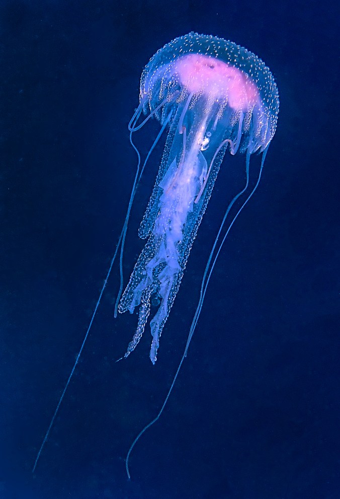
Lilly and I have celebrated our two crossings more moderately. A small ration of rum followed a voluntary swim as we crossed over the invisible line. Our event is recorded with a portrait of a young sailor at peace in the sea.
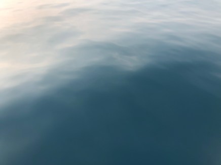
The equator, from above the surface of the water in the South China Sea. Photograph © Jeffrey Cardenas
I hope you continue to follow to voyage of Flying Fish
For upcoming passages when I have no cell or WiFi signal, I have activated a satellite tracking link that shows the daily position, current weather, and includes a few personal thoughts from the daily log of Flying Fish. I will not be able to respond to messages via satellite but I love the idea that you are sailing along with me. If you would like to follow the daily progress of Flying Fish into Southeast Asia and the Indian Ocean via satellite you can click this link: https://forecast.predictwind.com/tracking/display/Flyingfish
Please subscribe at the bottom of this page so that you don’t miss a new update, and consider sharing this post with others who might enjoy following the voyage of Flying Fish.
To see where Flying Fish has sailed in the past year click here: https://cruisersat.net/track/Flying%20Fish
Instagram: FlyingFishSail
Text and Photography © Jeffrey Cardenas 2019